

Building Community Resilience to Flooding on Clyde
Published: 21 June 2023
As the climate emergency intensifies, one of the major challenges facing communities in Scotland is flooding in river, coastal, and estuarine environments. Sarah Gambell writes about her latest project funded by The National Centre for Resilience
As the climate emergency intensifies, one of the major challenges facing communities in Scotland is flooding in river, coastal, and estuarine environments - which will have secondary effects on community resilience for those based in these regions.
This research project funded by The National Centre for Resilience applied a multimethodology approach to collate and represent various forms of qualitative information related to community risk and resilience to flooding and relationship to place in light of changing water levels. This project used a novel method of social spatial mapping to enhance understanding of the impacts of changing water levels on areas of social and cultural significance, and to investigate the resilience of community assets, heritage, and infrastructure. It highlights the multiple dimensions of sustainability risk and impact by evaluating compound multi-hazards and cascading effects; that is, secondary interconnected effects of flooding.

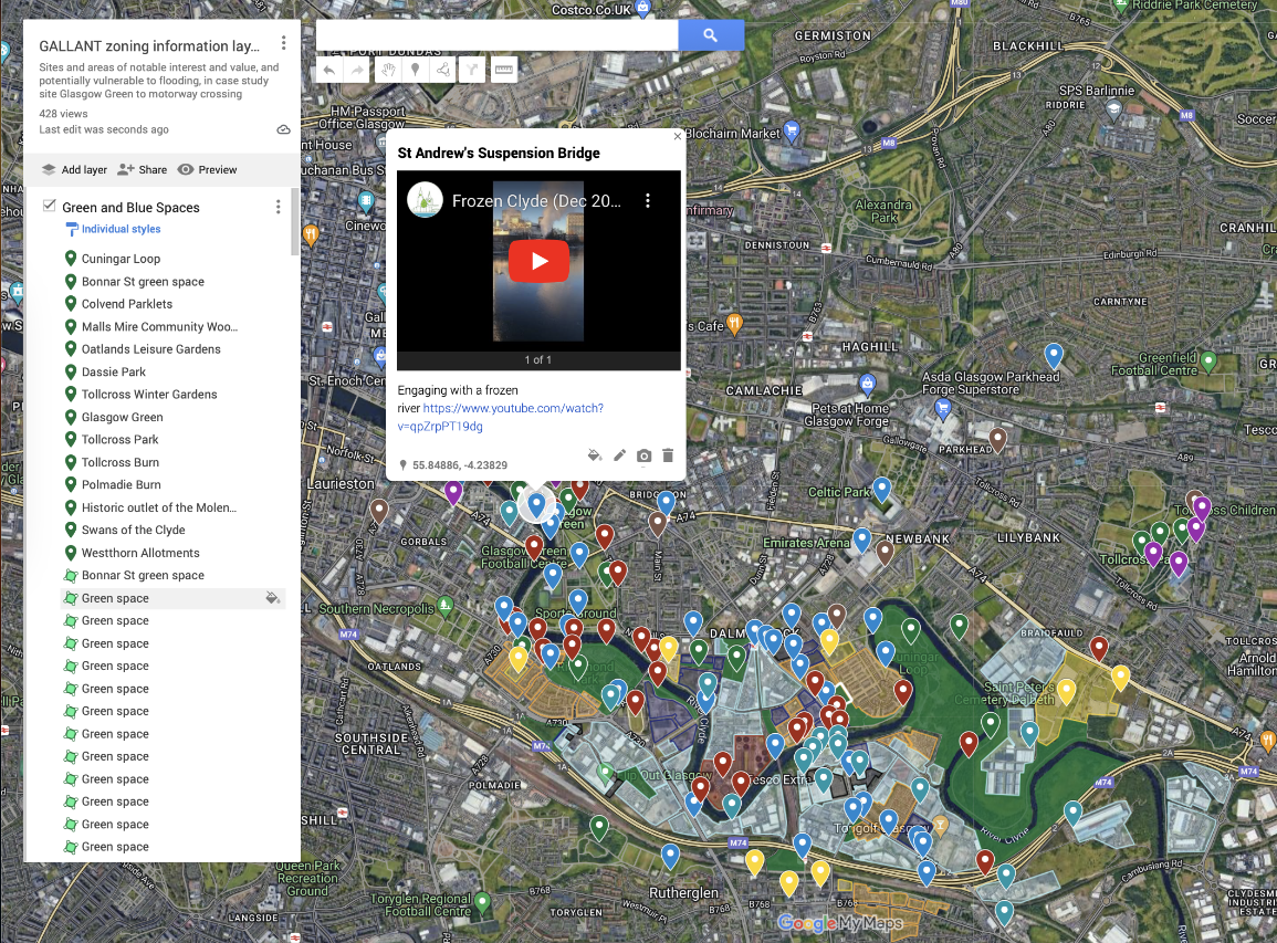
A snippet from the deep map showing sites of interest
Elements of this new multimethod methodology are being used within a large NERC-funded research project (GALLANT) as part of community-based co-creation deep mapping activities within Glasgow. The public-facing deep map tool (based on Google Maps, Google Earth and QGIS) represents an interactive platform for widening engagement with stakeholder groups. With community engagement, It can provide an unbiased, real-world snapshot of public perceptions of place which can be used to “get the communications right” – that is, address discrepancies between perceptions by council groups and stakeholders. Practitioners can use this methodology to act a democratising co-creation tool. Funding is currently being sought to investigate this methodology on a national level – applied to communities across Scotland, in both metropolitan and rural areas.
To see Phase I outputs, visit: https://floodingcommunityresilience.wordpress.com
To follow along with Phase II GALLANT based outputs, visit: https://communitycollabglasgow.co.uk
First published: 21 June 2023
<< News